Tuesday, 6 August 2013

Exploring Spencer Creek

There's a lot of hikes in K-Country. A lot. There's 1,200 km of official summer trails, and probably double that of unofficial ones. The plan today was to take my friend Monty up one of our favourite semi-official ones (it's an official winter trail, but not an official summer one. Go figure). But alas, he was sick and not up to it, so instead we opted to try a hike I only heard about a few weeks ago.

I was monitoring the kananaskisblog.com post on where to hike post-flood, and Alf Skratins (local hiking legend -- or at least I think of him as one) posted on the status of the Spencer Creek meadows.

Never heard of the place -- and yet, it's a valley between two of my favourite valleys. I did some research and could find only one post about it. Apparently, it is an access route for a scree scramble up to the summit of Mt. Lougheed.

Well, what an absolute treat of a hike it turned out to be. This could very quickly become one of my favourite places. The trail is downright gorgeous. It's easy to follow, challenging but not hard, and enables lots of exploring potential. It's like a cross between Old Goat Glacier, West Wind Pass and Sparrowhawk Tarns.

The first 3 km climbs 270 m next to a babbling brook in a luxurious verdant mossy forest. It's absolutely gorgeous.
Braided chanels, evidence of flooding 
A lush walk 
The path & the stream, in harmony
There's a cool spot where the creek disappears under the trail -- via a little vortex in the water.
The vortex
Up close
This section of the trail is reminiscent of Old Goat Glacier's lower section.

Then the trail becomes just like West Wind Pass, skirting the edge of the creek valley with increasingly good views back to Spray Lakes.
One of the many places on the edge
It turns out the majority of the water in the main part of Spencer Creek comes from a big waterfall off the back of Mt. Sparrowhawk.
The waterfall in the gorge
Then, just like Sparrowhawk Tarns, just off trail you skirt a rockfall coming off a small promontory behind Mt. Lougheed, which is home to pikas.
Me, on the lookout
We saw one, heard a second, but no one wanted to pose for pictures.

Then the trail gets a little more interesting, crossing steep creek gullies...
Looking almost straight down
...and more valley edges where the views to the meadows start.
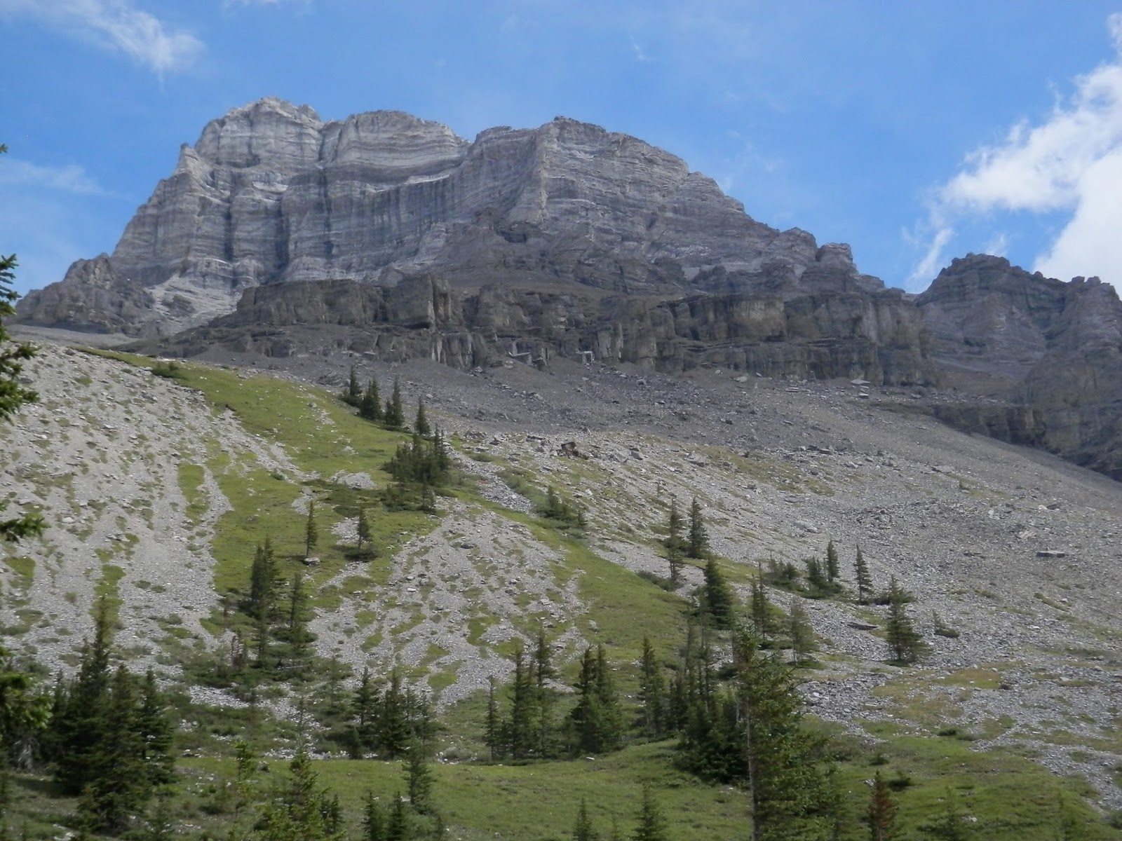
The meadows under Lougheed in the distance
Cross one last really rocky blown out dry creek bed from the floods...
A lot of rock. I'm getting used to seeing this.
...and like the Tarns, you suddenly break out of the forest into this big, glorious meadow. Here, all trails (and they've been good, soft underfoot and easy to follow to this point) just stop. There's 3 bits of different coloured flagging and two cairns at this point, and it's really not that hard to find your way back to the trail from the meadow.
Looking ahead 
Looking back
Everywhere you look is gloriously green, quiet and up.
Up to that promontory 
Up a grassy slope to the back of Mt. Lougheed
We ate lunch here to the sounds of more pikas and marmot whistles (more on them later). It took all of 90 minutes to climb the 400 m and 4 km to the basin and our lunch spot. 

Exploring the basin was a blast, just like the Tarns. There's a little stream flowing down a "false fault" style crack in the rocks.
Head for this gully. Note the red rock on the left 
The slabs in the gully
Down in the gully 
Me on the slabs 
The creek in the slabs 
The creek doing its carving thing
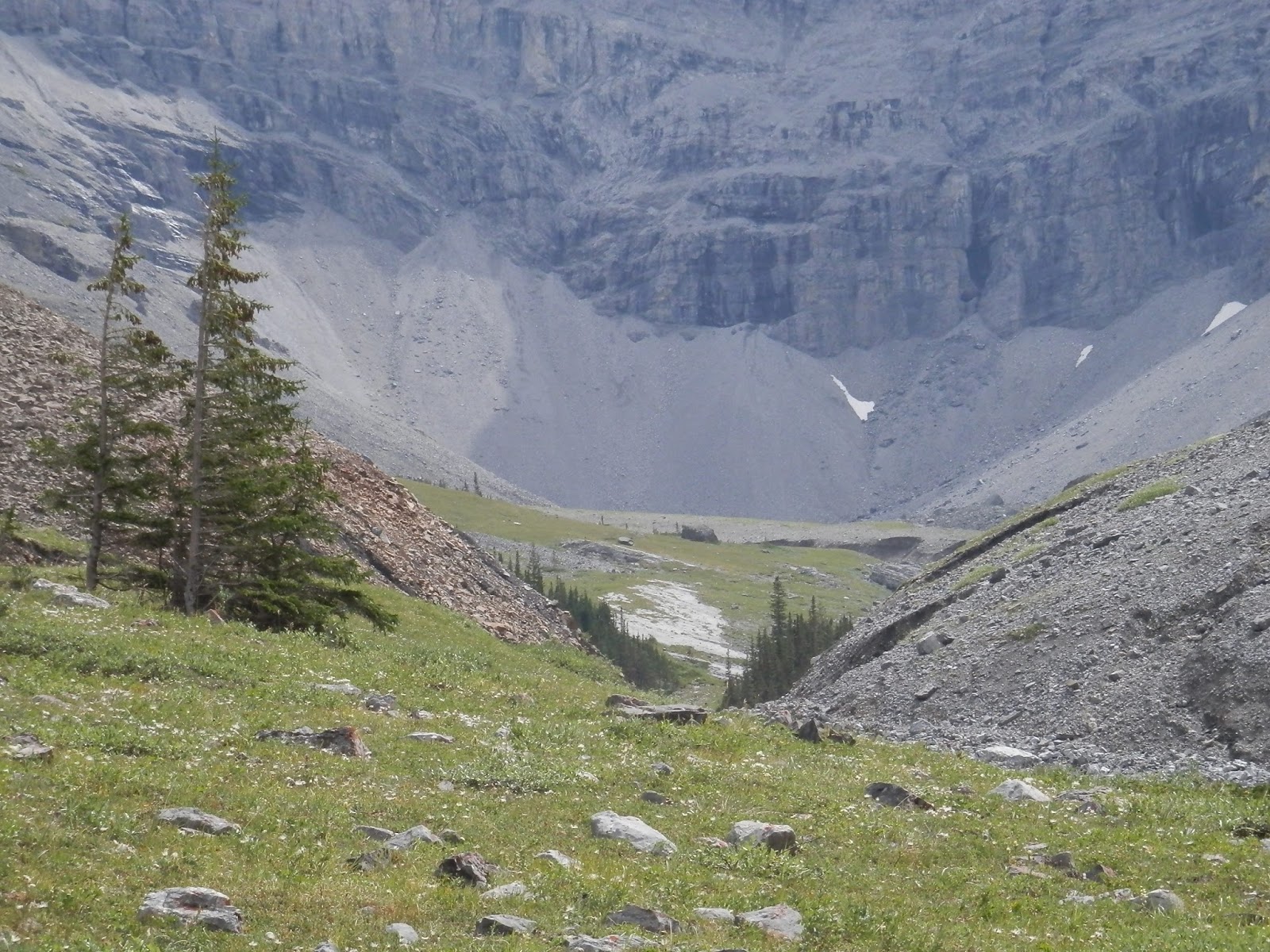
Follow the creek up to the back of the basin (just under 3 km from coming out of the forest) and it becomes a waterfall off the back of Mt. Lougheed.
Wind Mountain on the right
The waterfall
I crossed the creek and climbed the moraine.
Getting up the undercut bank was tricky 
Heading to the basin 
That's me in the middle...
That wasn't worth it. There's nothing back there but a lot of scree.
My view from that point
The grassy slopes above our lunch spot intrigued us. Climbing up to the waterfall was a gain of about 80 m, so we thought we could contour back to the grassy slopes and keep that 80 m gain. That didn't work. The slopes are steep, and that red rock pile in the photo above is unstable and ugly. So we dropped back into the creek bed, and chased out 2 hoary marmots.
Being stared at 
Scampering 
Heading home 
They walk faster on this stuff than I do
After making past the red rock pile, we angled up the slope and climbed up 100 m to the top of the grassy slope. Steep, slippery, ugly walking on a 60° slope.
KC grunts her way up the last bit 
Looking back at Spray Lakes from part way up 
The view from the "ridge top". Pika rockpile in the middle
See all those big black clouds? Turns out a thunderstorm was bearing down on us. We got off the slope (it would have been horrible when wet), got into rain gear, and the heavens opened, with lightning and heavy rain (but no hail). We headed back down the trail, easily locating its start in the meadow by the cairns and flagging. It poured rain for most of the hour it took us to get back to the car, but our last 15 min was in sunshine. As we drove home and dropped down through Whiteman's Gap above Canmore, this is what we saw.
Big thunderstorm. Grotto in the foreground 
This is the one that hit us. Pigeon on the left
As I mentioned, this is an awesome hike. Not (yet) in any guidebook I am aware of, it has everything you want -- a cool trail, waterfalls, critters, meadows, solitude, views -- and no downsides. If you want a 20 km hike, this isn't it. All of our wandering today and we only walked 11.2 km. The height gain was only about 500 m to the far end of the meadow, but we added a bunch during our exploring so climbed 680 m.

Yes, I could get to like this place.

Sunday, 4 August 2013

Finishing the yard

It was our hope last fall to get our yard put back together before the snow came. We tried in August to start the project, which dragged into September, which became October, then November. We went to Maui with no action on the yard and a giant pile of dirt spent the winter in front of my kitchen window.

This year, we started in March trying to get it fixed, with the goal being to have it re-built before the June-soon season. As I posted here, the re-grading, and only the re-grading, got done. And it got finished 3 days before the rains and flooding started.

Was the fact that the yard was in the shape it was a contributing factor to our flooding? We doubt it. It could have been at first, but then the groundwater came up so high that my basement was leaking from all points, and in fact the re-grading was steering a lot of water around my house.

Still, we needed the retaining wall re-done and the pavers re-installed to complete our yard, and our landscaper dudes finished that project this week. They started it while I was hiding in the basement painting (or mudding or drywalling -- it's all just a blur).

Step 1 was for yet another backhoe to show up and dig even more things in my yard.
The retaining wall starts 
Shaped in
Step 2 was to shape the siding and remove the deck steps to enable re-installation of the pavers.
Siding cut to height 
Steps being removed
Step 3 was to complete the retaining wall.
Steps being built 
Dormers in... 
...and buried 
More or less finished
Then work began in earnest relaying the pavers.
Hammering down the gravel base 
The first pavers go down 
The new patio
All the specially shaped bricks for the edges had to be cut by hand. This is noisy and dusty.
Hand cutting 
Edged 
More edged 
And more
And so it went, until they finished brushing the sand over the final product.
The finished side 
Looking good 
A tidy corner 
Bye bye worker bees
I re-seeded the back yard yesterday. Last time, it took most of the day. This time, it took less than 90 min, as the landscaper dudes had broken up 90% of the compacted earth and cleared out all the bad stuff.

And now we are virtually done. We need to re-build the step we tore off, and there's still the small matter of my water remaining contaminated. The latter should be taken care of this week. We still need to plant some trees and restore the fence, but that's our problem, not some hired contractor who won't show up.

So after almost 2 years of worker dudes continually visiting my house, I can safely say: we're done.

Friday, 2 August 2013

Verging on the nearly famous

I was interviewed on the CBC Radio One network today about the status of trails, bridges and volunteer opportunities in Kananaskis Country. You can listen to it here.

Sorry about all the "ums" and "ahs". It's been a while since I've done radio.

Thursday, 1 August 2013

You gotta wonder

A few weeks ago, I was back in the then-closed area to do some grizzly camera work. Since then -- are you ready for this? -- graffiti goons painted up a rock in the back country.

What?
Tomorrow, I'm going back there to get rid of the paint.

You really gotta wonder about some people.

FINALLY out hiking -- with Pikas!

After spending a month hiding in the basement, we took the perfect day to head out for a hike, heading up to Stanley Glacier in the Vermillion Pass area of  Kootenay Park.

We really like this trail, though it tends to be fairly busy, and on a perfect sunny Wednesday, the parking lot was mostly full when we got there at 10:45 AM. Still, once on the trail, we didn't see that many people. You start heading up through an area affected by natural forest fire about 20 years ago.
Castle Mt in the distance
It's a hanging valley, so once up high, there are plenty of waterfalls and increasingly good views of the glacier itself.
A big single fall 
A pair high up 
Braided and green 
The glacier and icefield
There's an official end to the trail about half way into the valley, but the real joy here is continuing up higher into the basin. There are at least 3 routes up, so you can pick your fave.

Up higher is a flat area where a bunch of creeks come out of the ground and coalesce to a verdant green marshy stream.
Soft green
We found a mom white tailed ptarmigan and her brood of 3 chicks wandering around up here.
Mom 
2 chicks
Up at this level, you get "up close and personal" with the glacier (though you're still ~1 km and 400 m below the toe).
Yes, it's just a walk up 
The lowest part
Head on
Still, the views back down the glaciated U-shaped valley are pretty impressive, too.
Me, living life on the edge 
More edginess
All that water on that knoll of course forms even more waterfalls.
Glacier up high, waterfall below
The falls
And of course what made the day perfect was pika sightings. One joined us for lunch. In total we saw 5 but heard at least 5 more.
Squished down, trying to look like a rock 
Foraging
It's a pretty hike, but do climb to the trees in the middle of this photo. It's worth it.
Looking into the valley from the edge of the hang
We got to the parking lot and smelled smoke. Apparently, a forest fire in the park a couple of km down the road at Numa Creek (initiated by lightning a few days ago) decide to get a LOT bigger.
Blue smoke with a cloud on top
It even got bigger while we were watching it. Gonna be smokey around here for a bit.