For starters, it's Kananaskis Country's only Ecological reserve. It's designated that way to protect the weird stuff on its summit. The summit isn't a peak, but 14 square kilometres of basically flat plateau. The top is a nunantuk, meaning it was above the ice sheets during the last period of glaciation. It has ice caves. It's a treeless, windswept place with permafrost, and exceptionally reminiscent of Canada's high arctic.
Access is up a partially closed road leading to old and new gas wells. The first gas field up there, which was discovered by Husky in the 1950's, had 4 wells, all of which are long abandoned and almost impossible to detect they were ever there. In the 1990's along came Direct Energy who acquired the gas rights in the area and drilled 2 new wells. Both of these are still there but currently capped. For those who care, the gas produced was processed way down in the Crowsnest Pass at Coleman at a plant specifically built for the field, but since Devon closed the plant in 2010, the wells no longer can produce.
So "active" roads still exist to get to the top, and other older roads exist up on top leading to the farthest northern reaches of the plateau, which is about 8 km long and up to 2 km wide. Reaching the top is about 9 km up the road from Hwy 940, but you can drive the first 4 km. This access road has been closed for the last 2 years due to flood damage; we weren't even sure it was open before we headed down, but confirmed that it was on arrival.
Best part: biking the roads is OK. However, don't believe the bike up is easy. Maybe if you're a better biker than us, or have better bikes. We ended pushing our bikes up about 90% of the way, taking about an hour and a quarter to climb the 250 m to the top. The road heads up via two big switchbacks...
 |
| Looking southwest from the first switchback at the road section you can drive |
 |
| The steeds. Looking west. |
 |
| Looking southeast to the southern section of the mountain |
 |
| From the first switchback, looking up. Road continues up the plateau at right centre |
 |
| Looking north at the first switchback |
 |
| Mt. Burke from the 2nd switchback |
 |
| The road continues up from the 2nd switchback |
 |
| Northwest view from the 2nd switchback |
 |
| The northern reaches of the plateau |
 |
| Peaks of the Divide peek over the ridge to the west |
 |
| The first well |
 |
| One coming to visit |
 |
| Others block the road |
 |
| I suspect they like the dust |
 |
| Far too friendly |
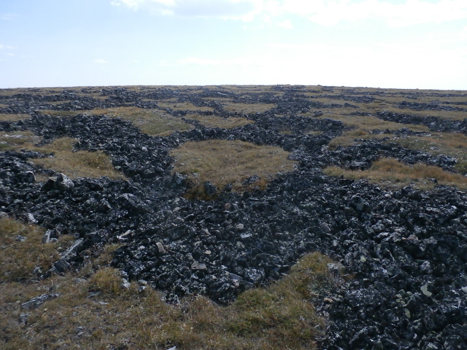 |
| Flat fields of rocks in circles and hexagons |
 |
| Like a field full of stop signs |
 |
| The road start. It's more obvious farther north |
 |
| Hailstone Butte to the east. There's a well down in the valley |
We continued the easy ride north, not realizing why the ride was so easy (see below). Twenty minutes of riding took us to the most northerly (now missing) well site and more stellar views.
 |
| Mt Burke is due north |
 |
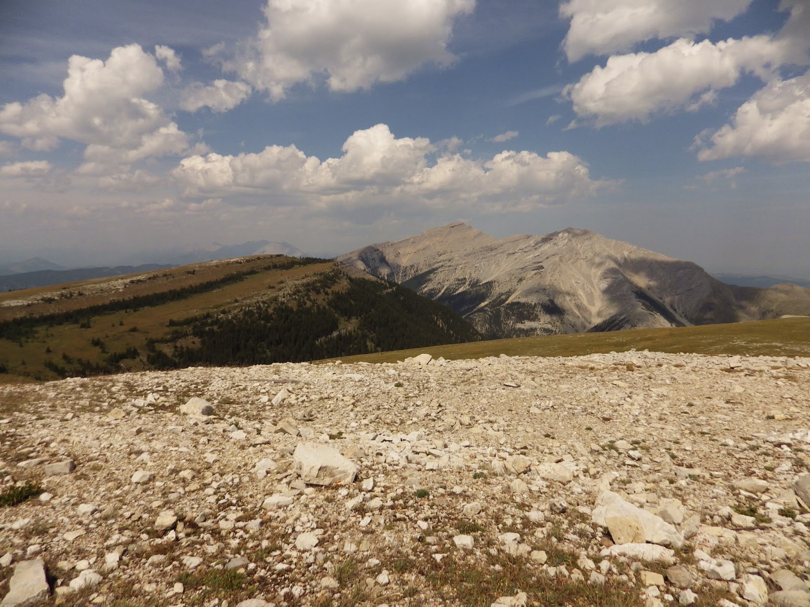
| Northwest to the Divide and Rasberry Ridge |
 |
| Southeast to Sentinel Peak, which peeks over the plateau |
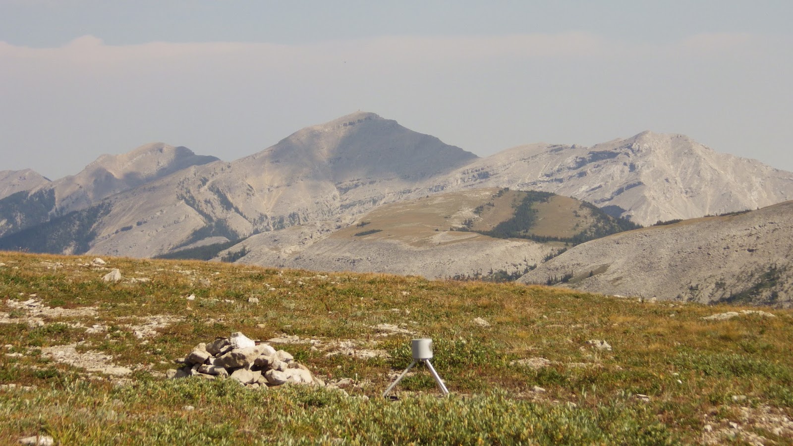
 |
| The monument |
 |
| Panel 1 |
 |
| Panel 2 |
 |
| The cave entrance is somewhere down the face on the right |
 |
| Looking back from the lowest point; bikes on the grassy flat upper right |
 |
| All the rocks up here are white, and the spruce trees are all over |
 |
| About 40 m downslope |
 |
| 60 m down (on the way up) |
Back up on the plateau and disappointed we didn't find the entrance, we walked northeast to the top of the outlier.
 |
| Mt. Burke looms to the north |
 |
| Sentinel Peak to the southeast |
 |
| Crap |
The bright side? From the top, we made it to the car in 17 minutes, including walking past two rough sections. Of the 26 km we travelled, we figure we rode a little less than half of it, and walked the rest.
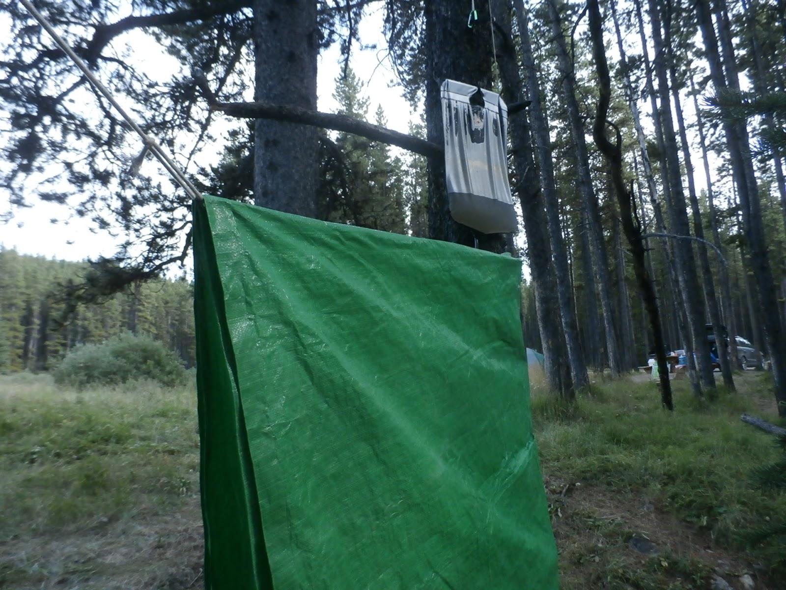
Once back at the car, we headed back to the campground. Once there, we drove around to check the place out. We were now one of 5 occupied sites in the 105 site campground. The place had been taken over by the deer.
 |
| Mom |
 |
| Baby |
 |
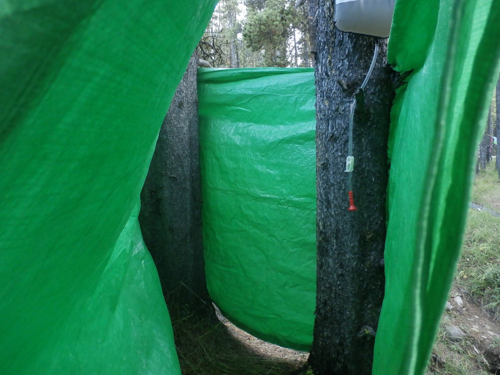
| Rigging the tarp |
 |
| Ready to go |
 |
| The inside |
Tomorrow: Can we get up Mt. Burke? Stay tuned.


No comments:
Post a Comment