 |
| WAY up there |
At 6 AM, we were woken by the gentle sound of raindrops on the tent. Rain? It got harder and harder, and by 7:30 AM, it was pouring. I got up for a moment to check things out. Not only was it cold and raining, it was overcast and the top of Mt. Burke was missing in clouds.
Bah.
So we went back to our sleeping bags. We were roused from our extended sleep by beaming sun at 10:00 AM. We got up to a cloudless sky and perfect temps with practically no wind.
Bah.
Had we arisen at 7:30, Burke would have been an easy get. But arising at 10 AM, there was too much distance and to much vert to get back at any reasonable hour. Frustrating.
We got up and studied our maps and guidebooks. We needed something short, straightforward and fun. We landed on climbing a small mountain near the Etherington campground called Three Cairns, so named for the three cairns on its top built by visitors. If you're interested, it's hike #55, Vol 5, 4th Edition of Gillean Daffern's fabulous Kananaskis Country Trails Guide.
We were so late, we had lunch in the Etherington campground before starting out. We thought our campground was empty. Of the 60 sites in that campground, exactly 1 was occupied. And we thought about making reservations.
 |
| Heading north towards Etherington |
 |
| The trail start |
 |
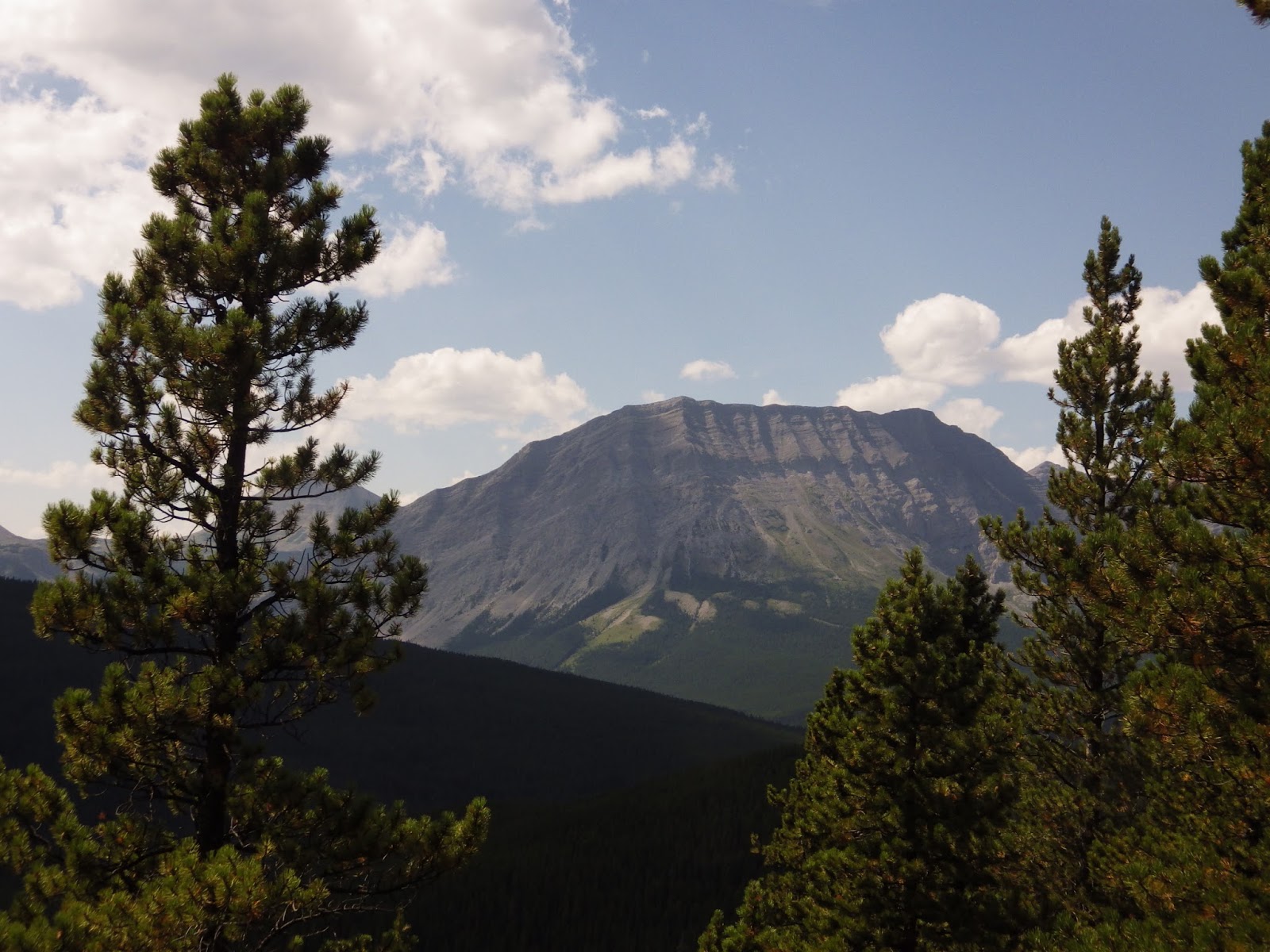
| The planned destination |
I was not surprised that Etherington campground had a cougar warning recently. We walked by a bunch of very large pussy cat tracks.
 |
| Cougar |
 |
| Road eaten by river flood damage |
 |
| Bypass trail on right around it |
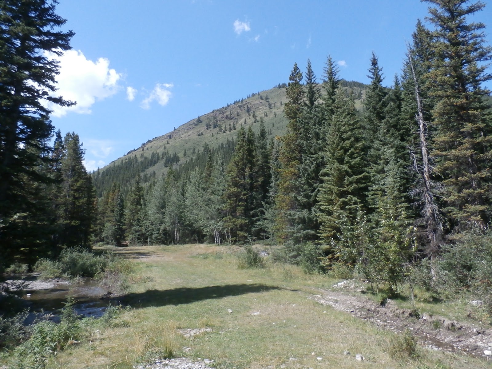 |
| Our destination looms |
 |
| Target is the top of the first ridge, not the second |
 |
| Number 2 |
 |
| Not even 100 m up. Trail "start" in the small clearing left centre |
 |
| Looking to the west |
 |
| Near the top of the meadow, a 40° slope |
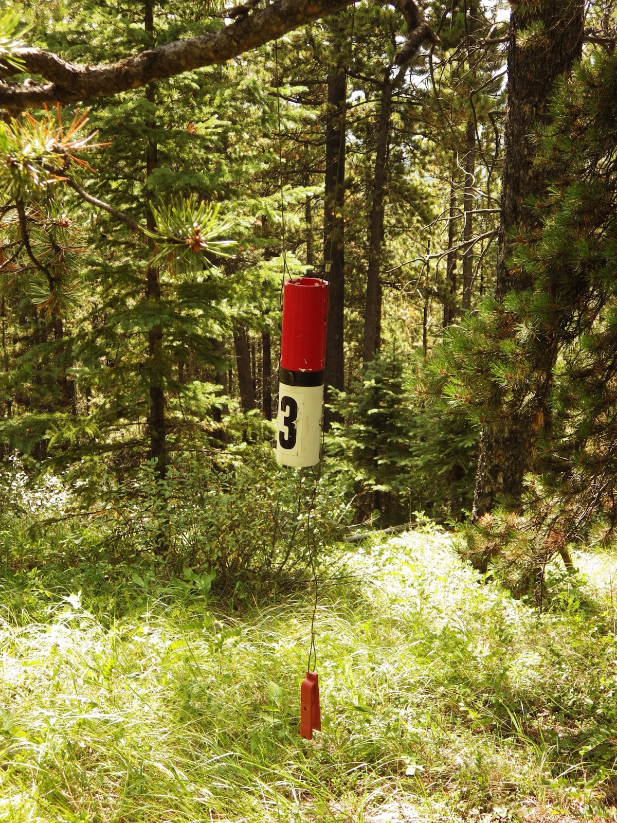 |
| Number 3 |
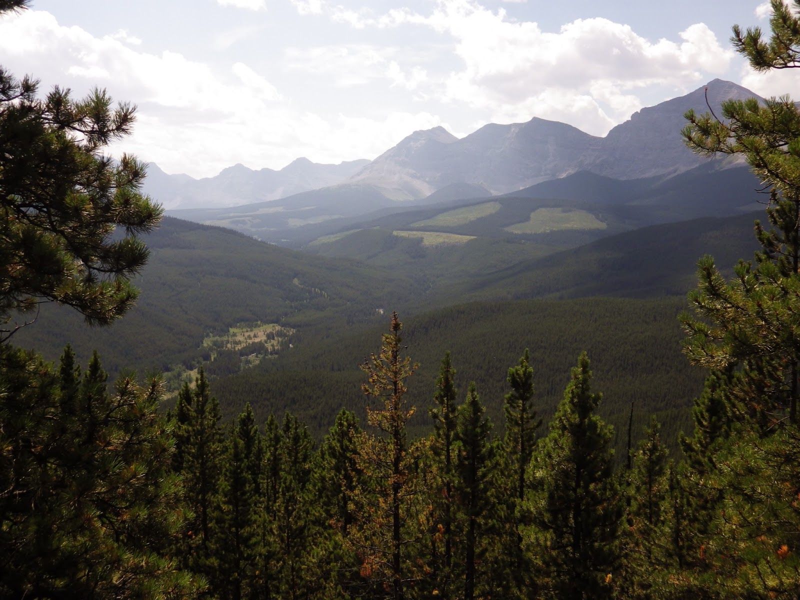 |
| Southwest over the cutblocks |
 |
| More southwest |
 |
| Due west |
 |
| More westerly |
Hot, frustrated, weary, and generally unhappy, we decided to bail. While it took an hour to climb, it took just 30 min to descend. Running at the bottom was cold and lovely Etherington Creek.
 |
| A pretty little creek |
 |
| Cool and green and shady |
I need to mention that the water in the campgrounds down here is not for drinking. Now, that having been said, I have a treatment system, but when I say "unfit for drinking", the water was a lovely rust-brown colour. I can treat out any bacteria, but the rust, not so much. We were therefore generally running out of drinking water at the campsite. We had decided to hit the store (yes, there is one nearby, 15 km to the north of us) and buy water. But...
Here I was at a cold, clear stream, and I had my water treatment system with me. Happiness. So we dumped the warm water we had, and I treated up almost 5 litres of icy cold creek water.
 |
| My device in action |
Could we have made Mt. Burke today? Maybe not. It was darn hot, not much wind, and we probably would have fried on the exposed area above treeline. But it would have been nice to have actually made a summit.


No comments:
Post a Comment