The best larch hikes I know are not short strolls because larches live high and most trailheads are low. So I annually trek to places like Sparrowhawk Tarns (last year's show was spectacular), Read's Tower, Tryst Lake or others to see the colours. Gillean Daffern's new Volume 5 of the 4th edition of the Kananaskis Trails Guide came out a few months back, and in reading it, she said the best larches in K-Country are in Arethusa Cirque. Makes sense; that's the first cirque south of the Highwood Pass, the highest car-accessible pass in Canada. And Ptarmigan Cirque right at the pass is OK larch viewing.
However, I was stunned by Arethusa. Not 5 minutes after leaving the car, the first larches appear. Not even 1 km from the trailhead, it's a sea of larches, 2 beautiful streams, and spectacular mountain backdrops. You want easy larches? Arethusa wins, hands down.
 |
| Gold on blue |
 |
| A sea of colour |
 |
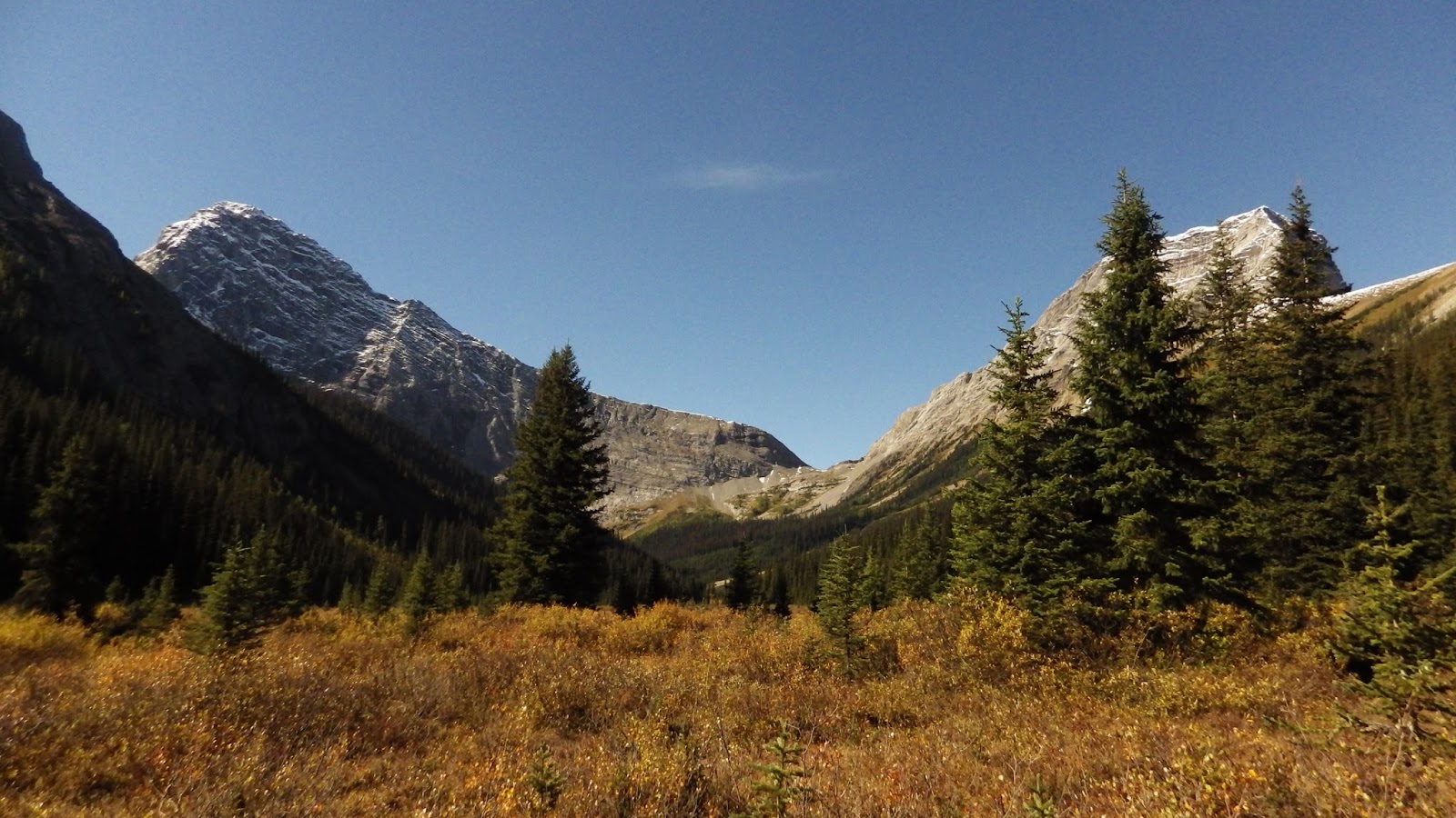
| The basin |
 |
| The larches continue |
 |
| Ice in the creek |
 |
| The larches just keep on going |
 |
| A gold sea |
 |
| Looking up the trail |
 |
| Mt. Arethusa |
 |
| Karen taking it all in |
 |
| A little higher |
 |
| Looking back across the valley |
 |
| So many larches |
 |
| An outlier of Storm Mountain |
 |
| Convoluted Storm Mountain |
 |
| Across the valley is Highwood Ridge |
 |
| A gold sea towards Storm |
 |
| Grassy meadows on the way towards Mt. Arethusa |
 |
| Larches on Arethusa's flanks |
 |
| The basin below |
 |
| You can pick out the creeks sparkling in the trees |
 |
| High up, the forest thins |
 |
| Isolated larches in the meadows |
 |
| Storm in it's larchy glory |
 |
| Looking southwest |
 |
| The creek under Mt. Arethusa |
 |
| Looking down the creek |
 |
| And the larches just keep on glowin' |
 |
| Storm Mtn. |
 |
| Across the draw to the forest of the Larch Trail |
 |
| Down this way |
 |
| A little lower |
 |
| What a spectacular meadow |
 |
| I was even having trouble focusing on him |
 |
| Like ice spiderwebs |
 |
| On the Larch Forest trail |
 |
| In the meadows above the forest |
 |
| At the creek at the top of the North Cirque trail |
PS: How to avoid getting wet crossing the creek: When you get to the creek, turn right and follow the trail on the right side of the creek. Near the scree at the far end of the meadow about 150 m on the other side of the meadow, the creek braids and there are several places you can easily step across it.