You can't say that the Pyramid Lake Lodge is not a photogenic place. Waiting for my daughter to appear to go hiking, we just had to take some pictures.
 |
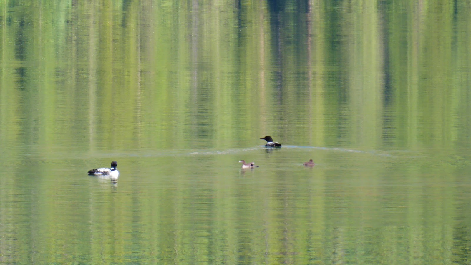
| The lake is calm and quiet in the morning |
 |
| Reflective boats |
 |
| All for rent |
 |
| Not fall. Bad pine beetle infestation killing all the trees |
 |
| Pyramid Mountain towers over the lake |
For various reasons, my daughter was late, so we went to town to grab breakfast, and along the way, saw this guy.
 |
| "He wore brown velvet..." |
The plan for the day was to hike the Bald Hills. The hike starts at the end of Maligne Lake, an hour up the road. We headed straight there without stopping, and along the way saw a grizzly in the ditch. Folks were staying in their cars but were standing up through the sunroof to get pictures, which I thought was OK.
The Bald Hills hike climbs ~450 m in ~5.5 km to an old fire lookout location via an old fire road. A long, boring, dreary 2 hr trudge up a gravel road that is relentlessly steep and straight. The only things of interest along the way was a Spruce Grouse mom and 2 chicks. For the first 90 minutes, there are no views at all, just hard gravel and a steady grade.
 |
| Wow. A mountain. |
After 90 min, there start to be some vistas through the trees, but generally, you're looking for shade -- any shade -- to get a break from the relentless climb.
 |
| The "view" |
There's a "short cut" which we took on the way down and were glad we didn't take on the way up. More on that later.
Eventually, you get to the old lookout sight which is just about at treeline. The lookout was built in 1954 and removed in the early 1980's. In the last 30 years, the trees have grown up somewhat and the views are less than they were.
 |
| The old site |
But the lookout site is not the objective. Another grunty, switchback-filled, 130 m climb in less than a kilometer (nearly straight up) gets you well above treeline, and the vistas (and reason for the hike) become obvious.
 |
| The steep grind up. The lookout is in the trees almost where the pond is left centre |
 |
| The view up Maligne Lake from the same spot |
 |
| My daughter on the mountain |
We gained the first summit, but then backtracked to have lunch in the lee of some small kruppleholtz trees.
 |
| Our lunch view |
For kicks and giggles, I set my iPhone to time-lapse, and made a movie of the world going by. It's a 30 second view that actually lasted about 15 minutes.
After lunch and a rest, it was time to continue upward another 90 m. This ridge beckoned.
 |
| Looks fun, and not like a hard climb |
The ridge itself is basically a knife edge with a 1,000 m drop on the far side. But the path up it is good.
 |
| Lunch spot extreme right. |
We were greeted on the top by a marmot, a pika and a golden mantled ground squirrel, our first (and only non-feathered) wildlife of the day. The pika would not, of course, stay still for a photo. The marmot, of course, barely moved, and the squirrel has obviously been hand fed and was begging.
 |
| Checking out his territory |
 |
| Skulking in the shadows |
The view from the top across the meadow and back to the lake was pretty stellar.
 |
| That's a wow |
My daughter insisted on a photo on the very top.
 |
| On her left is a 1,100 m straight drop down |
The back side of the ridge is the Evelyn Creek valley.
 |
| Apparently you can walk that |
From here we descended into the meadow.
 |
| Peak on the left. Lunch spot on the hill right centre |
The meadow was a peaceful and quiet place, with little bits of running water here and there and evidence of Columbian ground squirrels.
 |
| A great meadow walk |
 |
| The lake comes back into view |
 |
| The trail crossed a few snow patches |
Wrapping around the hill, we found that there's an actual trail up the backside that would have avoided the steepness of the straight-up, 130 m grunt switchback climb up the face with a trade off for a longer route.
Alas, it was time to descend. We took the "shortcut" I mentioned earlier. It cuts off a kilometre, but is rooty, rugged and stair-like. There were some folks coming up it, but I am glad we didn't.
 |
| The start at the top |
 |
| A little farther down |
You eventually connect back to the depressing fire road for the remaining 2.5 km trudge to the car... and the lake.
 |
| Dreary. And hard on the feet. |
 |
| But you can dip your feet in the lake when you're done. |
Maligne Lake is home to a very popular cruise boat fleet, and you can rent canoes and kayaks, too.
 |
| The main docks |
 |
| From the historic Maligne Lake Chalet |
Warning: THERE IS NO ICE CREAM AVAILABLE HERE. Which kinda blew my mind, given there is a full cafeteria, and a gazillion tourists.
Desperate for post-hike sustenance, we headed down the road. We paused to gawk at Medicine Lake and a bald eagles next along the way.
 |
| About half way between Jasper and Maligne |
 |
| My daughter explores the shoreline |
 |
| Eagle in her nest |
 |
| Arty photo of an invasive weed, the Tall Buttercup |
Part the way back, we saw a bear jam, with folks safely in their cars watching this black bear. Our photos of roadside bears are rarely great, as we slow down but don't stop.
 |
| Kinda cute |
We got back to Pyramid, then headed out for dinner.
 |
| A couple enjoying the solitude |
On our way home from dinner, we were driving uphill back to Pyramid. There was a car about 100 m in front of me. As we rounded a curve, I saw two bicycles blasting down the road with another car following them a safe distance behind. The lead cyclist lost it; not sure why or how, though she might have been startled by the car in front of me. But she sure had a pretty nasty crash, severely bending the bike's front tire in the process. We pulled over and went into "SnowHost accident scene" mode. We identified ourselves as first aid trained, got permission to call 9-1-1, protected the scene, and assessed the young lady. She was not wearing a helmet, but landed (and slid) squarely on her shoulder. Pretty nasty road rash, and so we pulled out the emergency kit, wrapped her in a blanket, and waited until EMS arrived. Her boyfriend was fine; both, it turned out, were CN employees who live in Jasper and also first aid trained. So all turned out well, though we were held up for about 45 min.