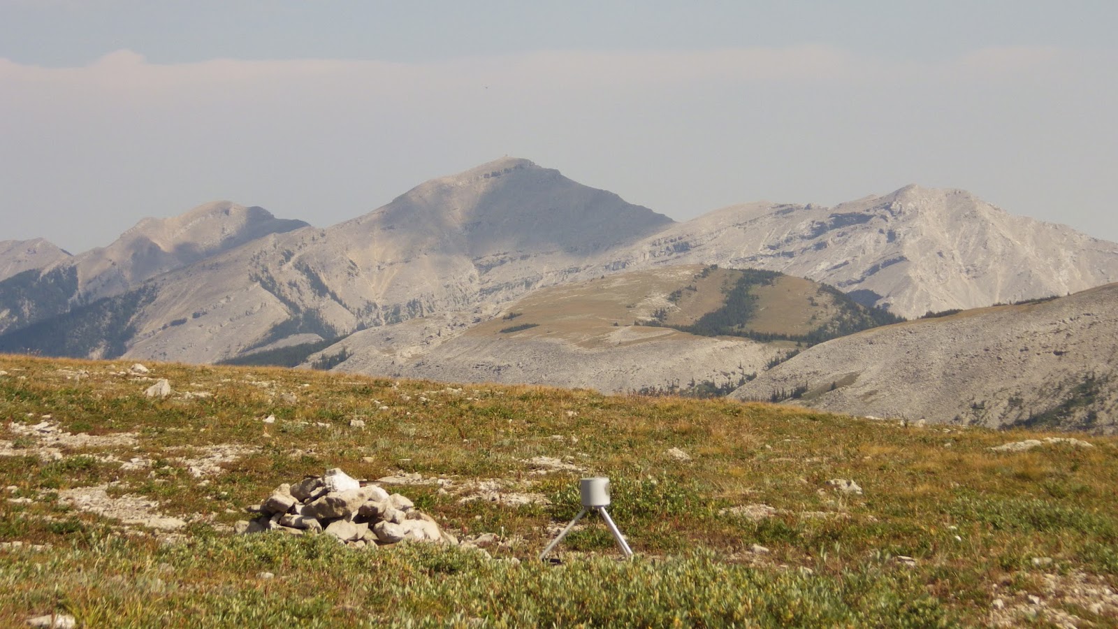
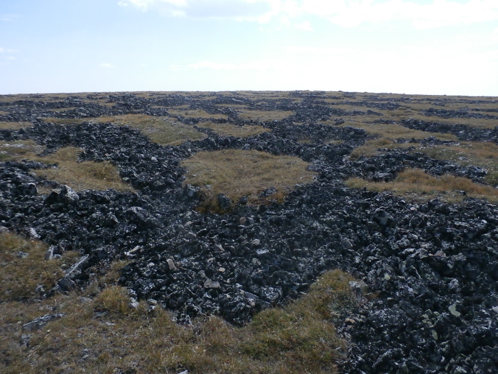
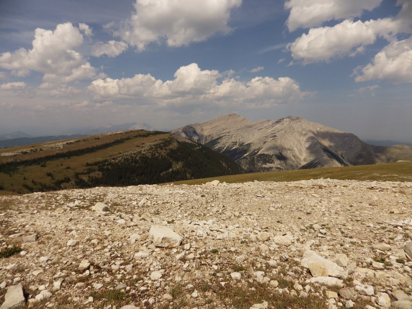
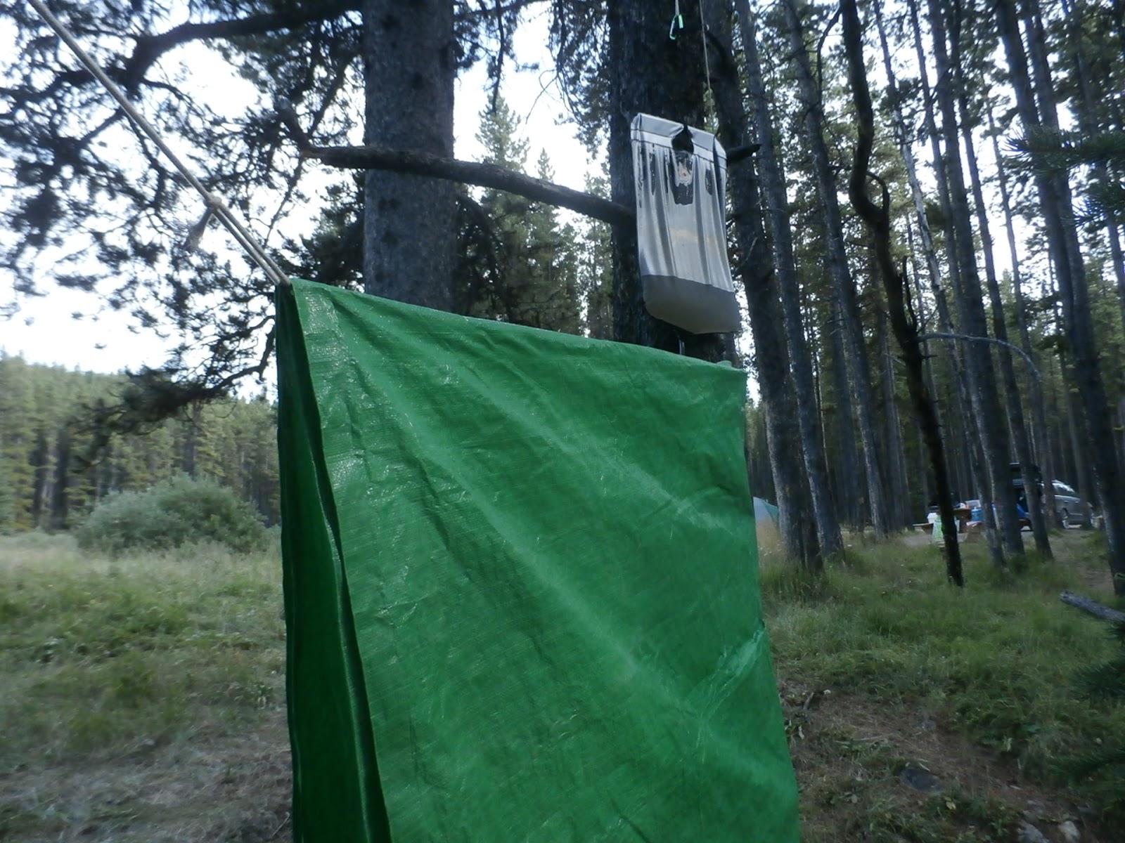
Another catch-up post...
I have never spent a lot of time in the southern section of K-Country (one hike up Raspberry Ridge way back in September 1995 is about it). Getting down there and exploring has been high on my list of things to do since retiring. Two years ago, I came up with the plan to go camp down there for a few days to allow more hiking time. Last year was the year for it, then I broke my leg. So darn it, I was going this year.
We studied both our calendars and the weather, looking for a 4-day, rain free, blue sky window. We had one option in July, and two in August. The July week we cleared our calendars for got washed out with rain. But August 9, we opted to go for it. It was almost perfect. Almost.
Our first day, we drove south down the paved Highway 40 to the unpaved 940, then south to the southeast corner of K-Country at Highway 532. It took us about 2½ hours (and a whole lot of dust) to get down there from home, far faster than Google predicted. Because we knew we wouldn't get to a trailhead until almost noon, then hike, then get to a campsite and set up, we wanted something short. As I'm currently writing a series of articles on Fire Lookouts for the Friends of Kananaskis newsletter, I picked hiking up to Hailstone Butte lookout, a short 4 km loop with only 320 m of height gain.
The trail starts on Hwy 532 at a place called The Hump, a pass into the mountains. Heck, the views from there was worth the drive down.
 |
| Looking east. Note the scars on the land, lower right |
In the photo above, the land left of the road on the left is K-Country. The land on the right is the Willow Creek OHV area. While we sat on the knoll having lunch, off-road motorcycles were blasting around up and down the hills. Ah well. Everyone needs a playground.
The hike climbs the butte in the photo below. The small structure visible at the top is a radio repeater station, not the fire lookout.
 |
| Looking west |
The hike up was pleasant and not that steep.
 |
| Part way up. Lookout still out of sight |
 |
| Looking south. Great lenticular clouds |
 |
| The south view from higher up |
 |
| Looking north |
So when you get to the point in the last 2 photos above, you have two route choices. You can head straight up and scramble through a break in the rock cliff at the top. Or you can take one of these two paths...
 |
| Upper or Lower |
...across a 45° shale scree slope. Not being a fan of scrambling that much, we opted to cross the scree. Be aware that this is tough, probably more dangerous than the scramble. The trail parts that are visible in the photo and in person are fairly stable, but there are a few washouts that are really quite dangerous to cross. They include 3' drops into the unstable washouts, which are 15' wide and filled with fine shale that is ready to tumble down 1,000' if you slide. Getting in and out of these washouts is as hard as getting through them. Take poles.
We made it across OK, and once across, you can either take a multiple kilometer walk across a meadow to the old access road, or scramble (sigh) up through a rock band. We opted to scramble for it looked easy, and it basically was. The only obvious break in the rocks had a sort of a trail through it. There was even beer cans stuffed under rocks at obvious sitting/pausing spots.
Once at the top, you're right at the lookout.
 |
| Looking south |
 |
| Looking north |
 |
| The lookout building |
 |
| The sign |
We were lucky. The lookout was not busy, and came out to say hi and get us to sign his guestbook. Normally this is not the case, as the last few lines on the sign can attest.
What do you do when you're a lookout and it's quiet? Well, build rock mosaics and paint the place in wild patterns.
 |
| I need this guy to do my yard |
 |
| But not to paint my house |
It's a fire lookout, which means the views are spectacular. To the west, the flat top of Plateau Mountain (and the logging taking place on its flanks) dominates.
 |
| Looking southwest. Large cutblocks dominate |
 |
| Due west |
 |
| Due west. Peaks of the Continental Divide peek over |
Towards the north, the skyline is dominated by Mt. Burke, site of the old Cameron fire lookout, and Sentinel Peak.
 |
| Mt. Burke. North reaches of Plateau on the left |
 |
| Burke on the left, Sentinel on the right |
You can see the towers of downtown Calgary, 98 km distant. You can look south to the route you took up, or to the end of the butte (which you can easily walk down to, though we did not).
 |
| The car's down on that road |
 |
| The top of the butte |
It's normally very windy there; it was "only" blowing 50 km/hr according to the lookout. Those lenticular clouds made me drool; as a former glider pilot, they're all about high altitude mountain wave flying, and indicate the winds are blowing 100 km/hr at altitude. Sigh. That was a previous life.
We opted to head down via the normal scramble route up. Downclimbing is always more challenging than upclimbing, and I did struggle even though the face is only 3 m tall. From the bottom, I readily found an easier route for Karen to get down than the one I used. It's obvious many people have poked around looking for routes; if you do come up the scramble way (named the "Roper Route", after the lookout's dog, who would guide people up and down it), try to remember how you did it if you're heading back down that way.
 |
| Me hunting around the base of the cliff band |
 |
| The scramble goes up there |
 |
| The route close up. It's two 3 m rock bands. |
We headed down to the car and rather than head straight to the campground, we decided to check out the access for our planned hike to Plateau Mountain the next day. We were getting conflicting reports as to whether the road was open, and were reluctantly committed to biking it's 4 km length (and 200 m height gain) if it was not. We were pleasantly surprised to find the road open. We drove up it, and ran into some hikers who had been up on Plateau. They reported all was well. It made us excited for tomorrow.
We turned to drive to the campground. I came around the first bend into a meadow (not 300 m from the hikers) and saw a big, light brown, furry face look at me. Sure enough, I had seen a grizzly. We pulled over, and sitting on the side of the meadow was indeed a bear. Just not the one I had seen.
 |
| Not light brown |
 |
| Checking us out |
A moment later, mom appeared.
 |
| THAT'S who I saw. Gotta be 500 lbs |
She and her kid wandered into the woods. Cool.
We headed to the Cataract Creek campground. We could have made reservations at the Etherington Creek campground a few kilometres farther north, but decided to chance the first come, first served Cataract as it was a bit better located. We needn't have worried. Cataract has 102 sites. At 4 PM on a sunny Sunday afternoon in August, less than a dozen were occupied. We found an empty grouping we liked near bathrooms and water, decided to take one -- then a truck pulled into it. Turns out they were just hikers going out for a walk, so happily moved to another site when we asked.
 |
| Yes, I'm a tenter |
 |
| We're minimalists |
 |
| Keep it simple |
This was our view.
 |
| Mountains |
 |
| Cool, but... |
 |
| Cooler. In camera HDR |
That mountain on the right? Mt. Burke, the mountain we saw from Hailstone, and the one with the old fire lookout on it. Let's zoom in, shall we?
 |
| That's Burke |
 |
| And that's the Cameron Lookout |
We don't so campfires. So after dinner we sat there, watched the deer come into feed...
 |
| Blurry but you get the point |
...
watched the sunset change the colours on Mt. Burke...
 |
| Orange now |
...and watched it go dark.
 |
| HDR at 9:45 PM |
Plan for August 10: Bike up Plateau Mountain. Visit an ice cave. Stay tuned, and I'll get it posted as soon as I can.